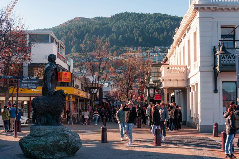
9 Travel Destinations Where Visitors Follow Defined Paths
Some trips still feel open-ended, but many iconic destinations now work on a clear route system. Visitors enter in timed windows, move through marked zones, and exit through defined corridors. The structure can feel strict at first, yet it usually exists for practical reasons.
Crowding has intensified at heritage sites, canyons, reefs, and mountain trails. Unmanaged foot traffic erodes stone, damages fragile habitat, and creates avoidable safety risks. Defined paths are a direct response to that pressure, and they are now part of modern trip planning.
This shift is not about removing wonder from travel. It is about keeping access possible without burning out the place itself. When paths are planned well, visitors spend less time in confusion and more time actually seeing what matters.
Across these nine destinations, route rules look different on the surface but follow the same logic underneath. Protect sensitive terrain, respect local governance, and reduce high-risk behavior. The result is a travel style that feels more deliberate, and often more rewarding.
Machu Picchu, Peru
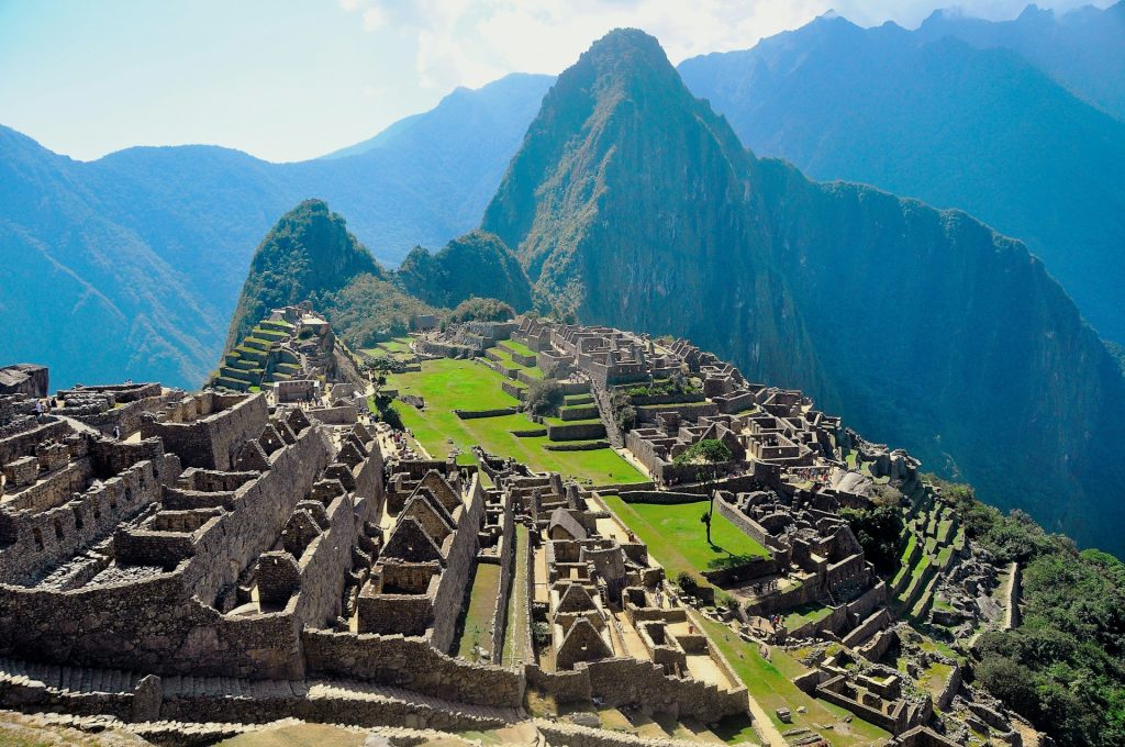
Machu Picchu no longer works like a free-roam monument where everyone drifts in every direction. Entry tickets are tied to designated circuits, and each circuit determines what areas a visitor can access. That approach helps distribute foot traffic across the sanctuary.
The route system protects both the ruins and the visitor experience. Without it, bottlenecks build fast at narrow stairways and high-visibility viewpoints. With it, movement stays steady and site pressure becomes more predictable.
Travelers who plan ahead usually get the best outcome here. Choosing the right circuit matters as much as choosing the right day. A rushed booking can still get someone in, but not always on the route they hoped for.
The key mindset is simple: treat the circuit as part of the destination, not a limitation. The path is designed to keep the site standing and the visit meaningful. That framing makes the rules easier to work with.
Antelope Canyon, Arizona, United States
Antelope Canyon is one of the clearest examples of managed movement in action. Visitors enter with authorized guided groups rather than wandering independently through the slot canyon. That structure is tied to both safety and stewardship.
These corridors are narrow, light-sensitive, and vulnerable to sudden conditions. A guide-led flow keeps timing controlled and prevents dangerous congestion inside tight passages. It also protects the canyon walls from careless contact and off-route damage.
The experience feels highly choreographed, especially during peak season. Groups pause at selected photo points, then move forward in sequence. That rhythm can seem fast, but it is what allows large visitor volume without full gridlock.
People who arrive expecting total freedom often feel surprised. People who arrive expecting a managed cultural landscape usually leave satisfied. In this destination, the defined path is the product, not just the policy.
Galápagos Islands, Ecuador
The Galápagos are famous for wildlife, but the real story is management discipline. Tourism here depends on designated visitor sites and controlled landing patterns. Movement is planned to reduce ecological stress across sensitive islands.
This system exists because small disruptions can scale quickly in fragile ecosystems. Off-route movement, even when well intentioned, can affect nesting areas and species behavior. Defined paths and supervised visits reduce that risk.
Itineraries in the Galápagos are therefore structured by design. Visitors experience a sequence of approved sites rather than improvising each day. That can feel less spontaneous, but it aligns with conservation-first governance.
Most travelers find the tradeoff worth it once they see the environment up close. Wildlife encounters remain rich, and habitat pressure stays lower than it would under open access. The path protects what people came to admire.
Yellowstone Thermal Basins, United States
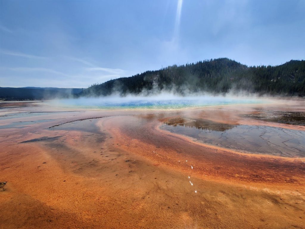
Yellowstone’s thermal basins are visually stunning and physically dangerous at the same time. Boardwalks and marked trails are not decorative infrastructure. They are the boundary between safe viewing and serious harm.
Ground near hot springs can be thin and unstable, with scalding water below. Leaving the path is not a minor rule break in these zones. It can become a severe injury event within seconds.
Defined routes also protect geothermal features that take long periods to form. A single off-path shortcut can damage delicate crust and microbial systems. That is why rangers emphasize route compliance so consistently.
In Yellowstone, following the path does not reduce the experience. It sharpens it by keeping focus on observation instead of risk. Visitors get the spectacle and leave the landscape intact for others.
Uluru-Kata Tjuta National Park, Australia
Uluru represents a major shift in how access is understood at culturally significant sites. The former climb route is closed, and visitor movement now centers on designated base walks and marked tracks. That change reflects cultural respect and land management priorities.
The park’s guidance emphasizes staying on formed paths, especially during extreme heat periods. This is partly about preservation and partly about basic safety. Desert conditions can turn quickly, and route discipline reduces emergency situations.
Many visitors now spend more time with interpretive walks than they would have during the old climb era. That shift has changed the quality of engagement, often for the better. People leave with deeper context, not just a summit photo.
Uluru works best when approached as living country, not a challenge course. Defined paths support that perspective and align with local custodianship. The visit feels more grounded when travelers accept that frame.
Mount Fuji, Japan
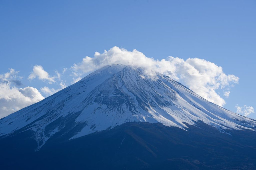
Mount Fuji has moved toward tighter trail governance as climber numbers rise. Key routes now use entry controls, posted limits, and fee structures during the main season. The goal is to reduce crowding and improve safety on steep sections.
Overnight rush patterns once created heavy pressure near summit windows. Managed entry helps spread movement and reduces dangerous bottlenecks in darkness. It also gives local authorities more control over waste and trail conditions.
Travelers still get the classic climb, but planning is no longer optional. Start times, hut bookings, and route rules can shape whether the ascent feels orderly or stressful. Preparation now matters as much as fitness.
The mountain remains iconic, just less chaotic than before. Defined paths and controlled flow help protect both the landscape and climber welfare. That is a practical update, not a loss of adventure.
Angels Landing, Zion National Park, United States
Angels Landing is famous for exposure, narrow ledges, and chain-assisted sections near the top. Because demand surged, access to the final segment now runs through a permit system. That measure controls peak congestion where risk is highest.
The trail design creates a natural split point. Many hikers go as far as Scout Lookout, while permit holders continue to the most technical stretch. This preserves access while reducing crowd pressure on the narrowest terrain.
Permits can feel inconvenient for travelers who prefer open schedules. In practice, they reduce crowd stacking and make the route calmer. Movement becomes more predictable, which improves both safety and pacing.
For most visitors, the better strategy is to plan around the system early. Lottery timing, backup dates, and realistic fitness expectations matter here. With that approach, the defined path works in their favor.
Hanauma Bay, Hawai?i, United States

Hanauma Bay is managed as a protected marine area, not a free-entry beach stop. Visitors follow timed access procedures and educational steps before entering the bay. That structure is designed to reduce pressure on coral habitats.
The required briefing component plays a practical role, not a symbolic one. It sets behavior expectations before people enter the water. Better-informed visitors generally create fewer reef impacts.
Reservation mechanics and attendance limits can feel strict in peak periods. Still, these controls prevent the site from being overwhelmed by unmanaged daily volume. The bay stays usable because entry is paced.
When travelers accept the sequence, the visit often feels more intentional. Snorkeling becomes quieter, visibility improves, and crowd friction drops. Defined paths on land and in policy help protect what is underwater.
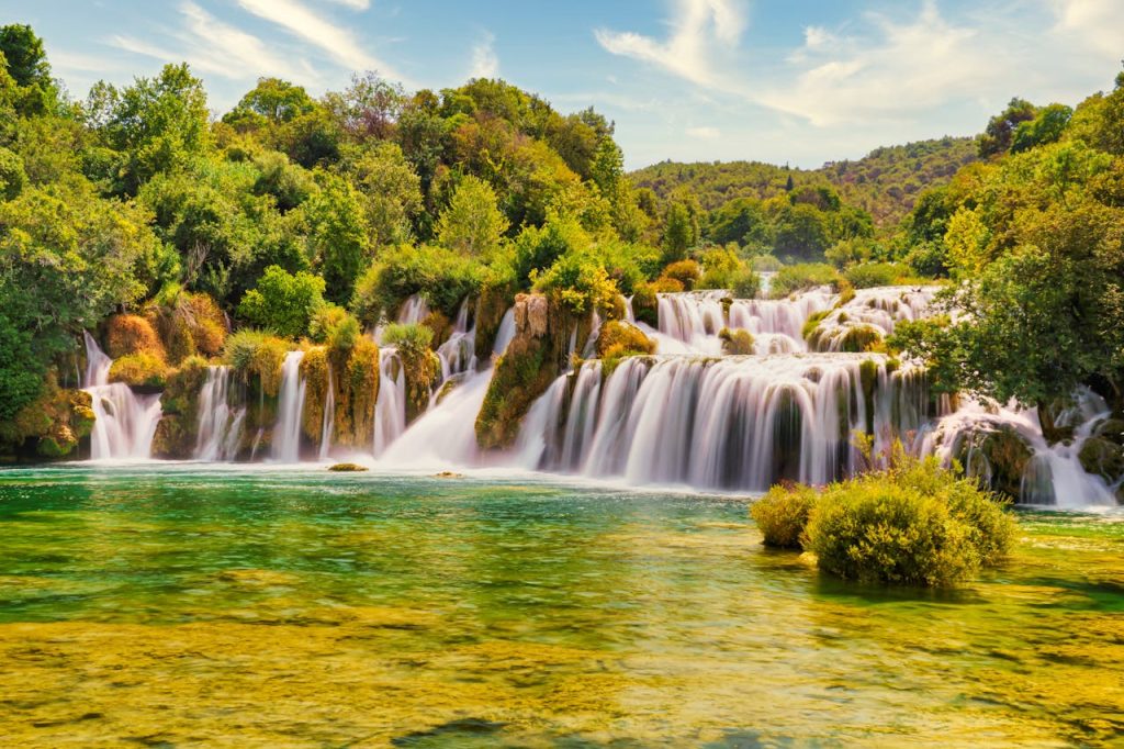
Plitvice Lakes and Krka National Parks, Croatia
Plitvice and Krka rely on marked walking corridors to protect fragile water-and-stone systems. Boardwalks, signed routes, and restricted zones shape how people move through both parks. This structure keeps core features visible without constant disturbance.
The logic is straightforward: delicate formations do not recover quickly from random trampling. Uncontrolled wandering can damage habitats and degrade trail safety near wet edges. Defined paths prevent that cumulative harm.
Visitors sometimes assume route limits reduce exploration value. In reality, most highlights remain accessible through organized loops and transport links. The path improves flow and reduces congestion in narrow segments.
These parks show how clear route design can preserve beauty and access at once. Travelers still get the dramatic views, but with less chaos underfoot. That balance is exactly what modern park management aims for.
Sources
- Machu Picchu Circuits and Routes
- UNESCO World Heritage Centre: Machu Picchu
- Navajo Nation Parks and Recreation
- National Park Service: Yellowstone Thermal Basin Safety
- Galápagos National Park Directorate
- Parks Australia: Ulu?u-Kata Tju?a National Park