These 7 American Landscapes Are Disappearing and Scientists Say You Have 10 Years to See Them
Across the U.S., federal agencies and university researchers have spent years documenting how warming temperatures, sea level rise, drought, and erosion are reshaping public lands. That broad trend is now especially visible in seven American landscapes where scientists say the next decade could bring major, measurable change.
Glacier Bay and Alaska’s coastal glaciers
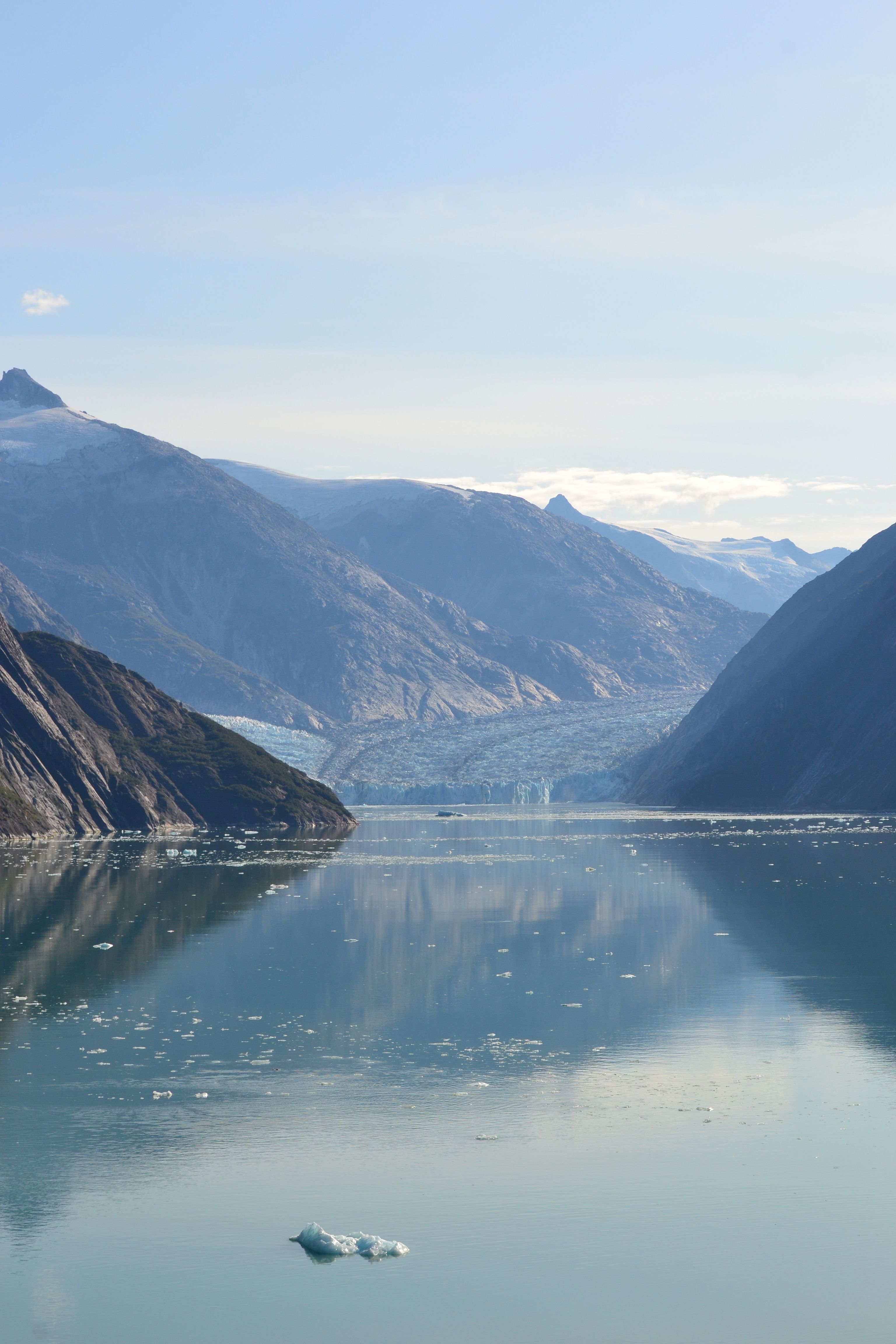
Glacier Bay National Park and Preserve has already seen dramatic ice loss, and the National Park Service says glaciers there have retreated since the park’s modern surveys began in the 20th century. In southeast Alaska, the agency and the U.S. Geological Survey have documented thinning, retreat, and shrinking ice fronts across multiple tidewater glaciers.
The broader Alaska picture is even larger. The Alaska Climate Research Center and NASA have reported that the state is warming at roughly twice the global average in many long-term studies, and glacier melt has accelerated in recent decades. Scientists do not say Glacier Bay will vanish by 2035, but they do say visitors in the next 10 years are likely to see less ice and more exposed rock than travelers saw a generation ago.
Louisiana’s coastal wetlands
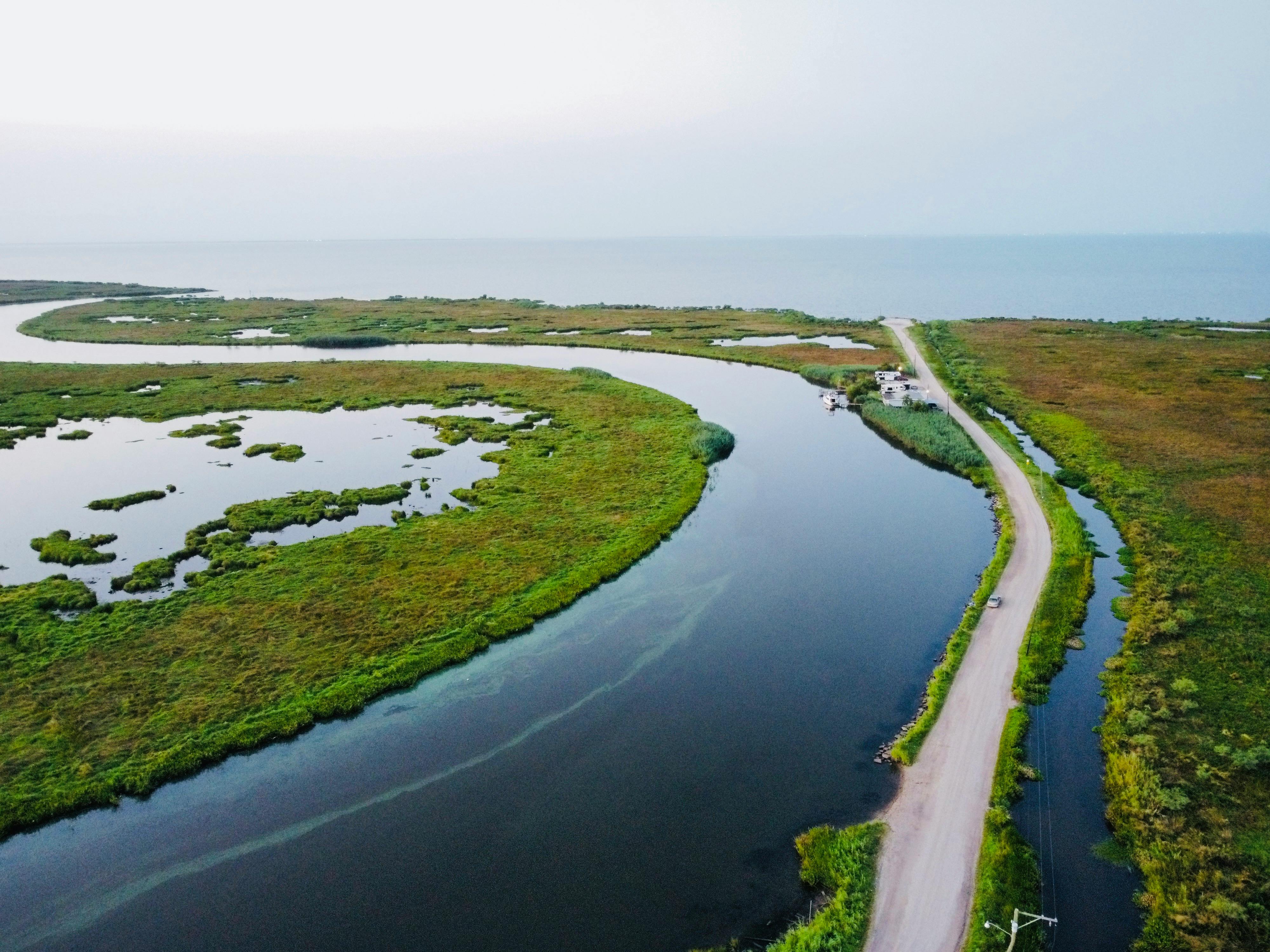
Louisiana’s coast is one of the fastest-changing landscapes in the country. The U.S. Geological Survey and Louisiana’s Coastal Protection and Restoration Authority have long cited the loss of roughly 2,000 square miles of land since the 1930s, a figure repeated in state coastal planning documents.
The causes are well established. State and federal researchers say sea level rise, oil-and-gas canal dredging, subsidence, and hurricane damage all contribute to wetland loss from Terrebonne Parish to Plaquemines Parish. Officials are investing billions through the state’s Coastal Master Plan, but CPRA has also said land loss is ongoing, meaning some marsh and bayou views that exist in 2025 may look notably different by 2035.
The Colorado River Delta and Southwest desert waterways
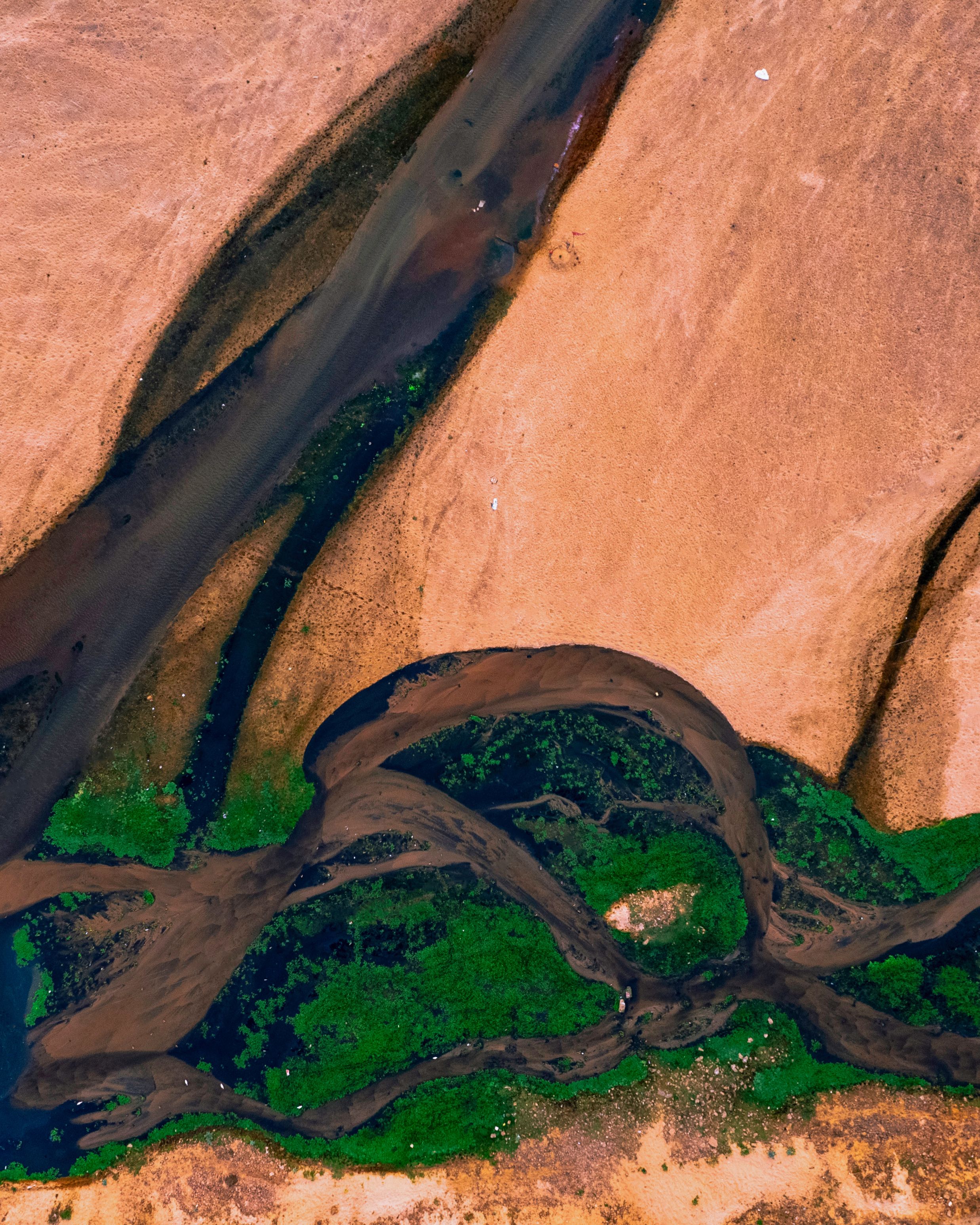
The Colorado River once carried enough water to regularly reach the Gulf of California, but decades of dam building and heavy water use changed that system. The U.S. Bureau of Reclamation, along with interstate water agreements, now manages a river stretched across seven U.S. states and northern Mexico.
Scientists and water managers have tied the river’s decline to a long drought, higher temperatures, and lower runoff. Federal records show that Lake Mead and Lake Powell reached historically low levels in recent years, and researchers at institutions including Arizona State University have said warming reduces river flows even when precipitation varies. For travelers, that means riparian habitat, side channels, and reservoir shorelines may keep shifting visibly within the next decade.
Florida’s coral reefs in the Keys

Florida has the only extensive shallow coral reef system in the continental United States, and NOAA has said that reef tract stretches about 350 miles from the Dry Tortugas to near St. Lucie Inlet. That system has been under growing pressure from marine heat waves, disease, and water quality problems.
In 2023, NOAA and university scientists documented severe coral bleaching in the Florida Keys during record ocean heat. The Florida Aquarium, Mote Marine Laboratory, and NOAA have all expanded coral rescue and restoration work, but researchers have also said living coral cover remains far below historic levels. A visitor can still snorkel these reefs in 2025, yet scientists say the next 10 years are critical for whether many sections remain recognizable as coral-dominated habitat.
Giant sequoia groves in California
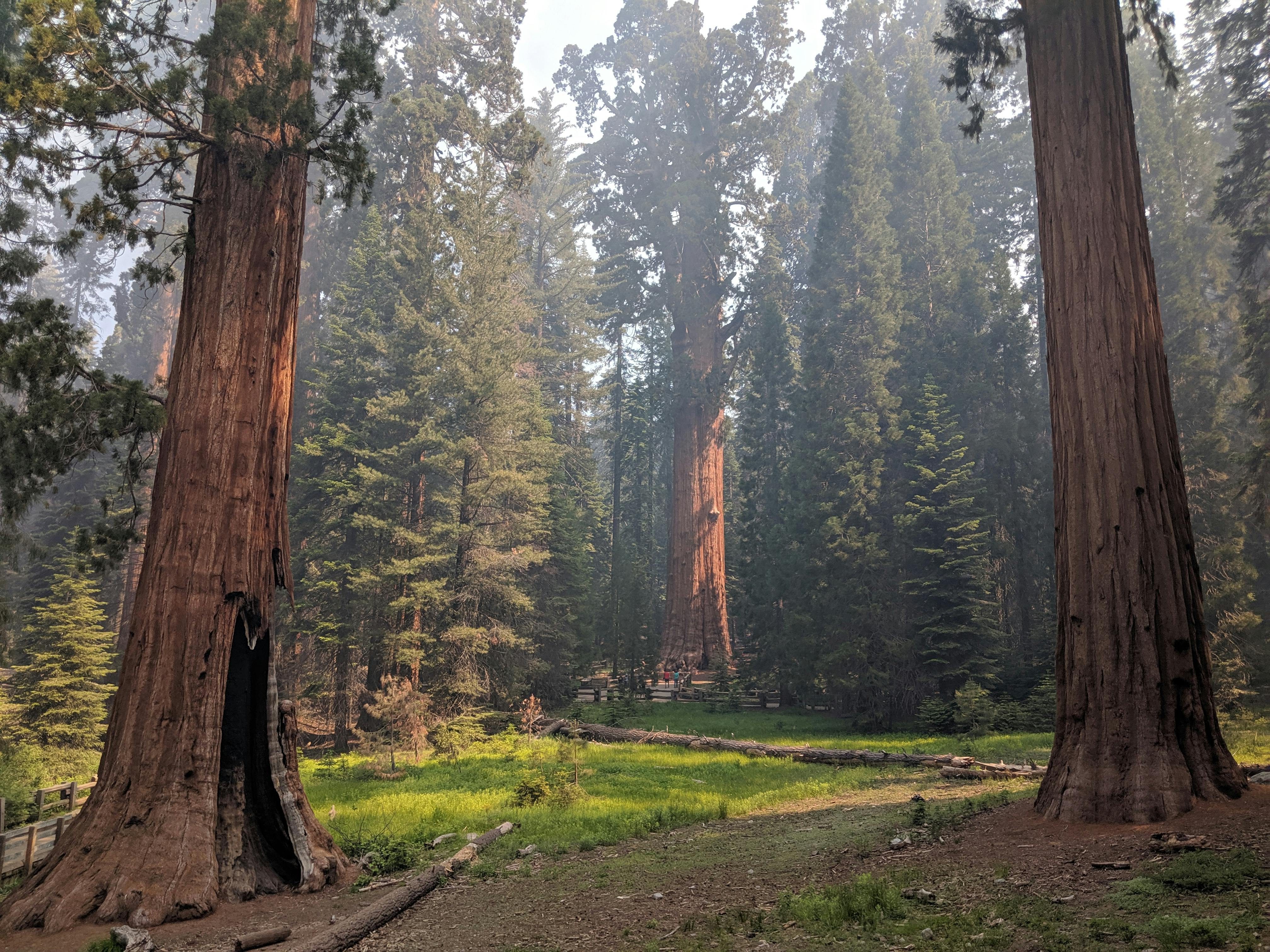
California’s giant sequoias are not disappearing in the same way as wetlands or glaciers, but scientists say the groves are under real pressure from hotter conditions and more severe fire. The National Park Service and U.S. Forest Service reported that two major wildfire periods, in 2020 and 2021, killed an estimated 13 to 19 percent of the world’s large sequoias.
That loss is historically significant because giant sequoias naturally occur in a narrow belt on the western slope of the Sierra Nevada. Researchers have said fire suppression built up fuels over decades, while drought and heat intensified recent blazes. Sequoia and Kings Canyon National Parks remain open to visitors, but land managers now openly describe parts of the groves as changed landscapes, not fixed ones.
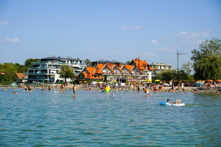
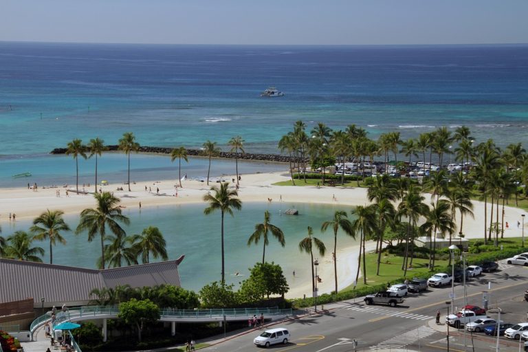
Hawaii’s disappearing beaches
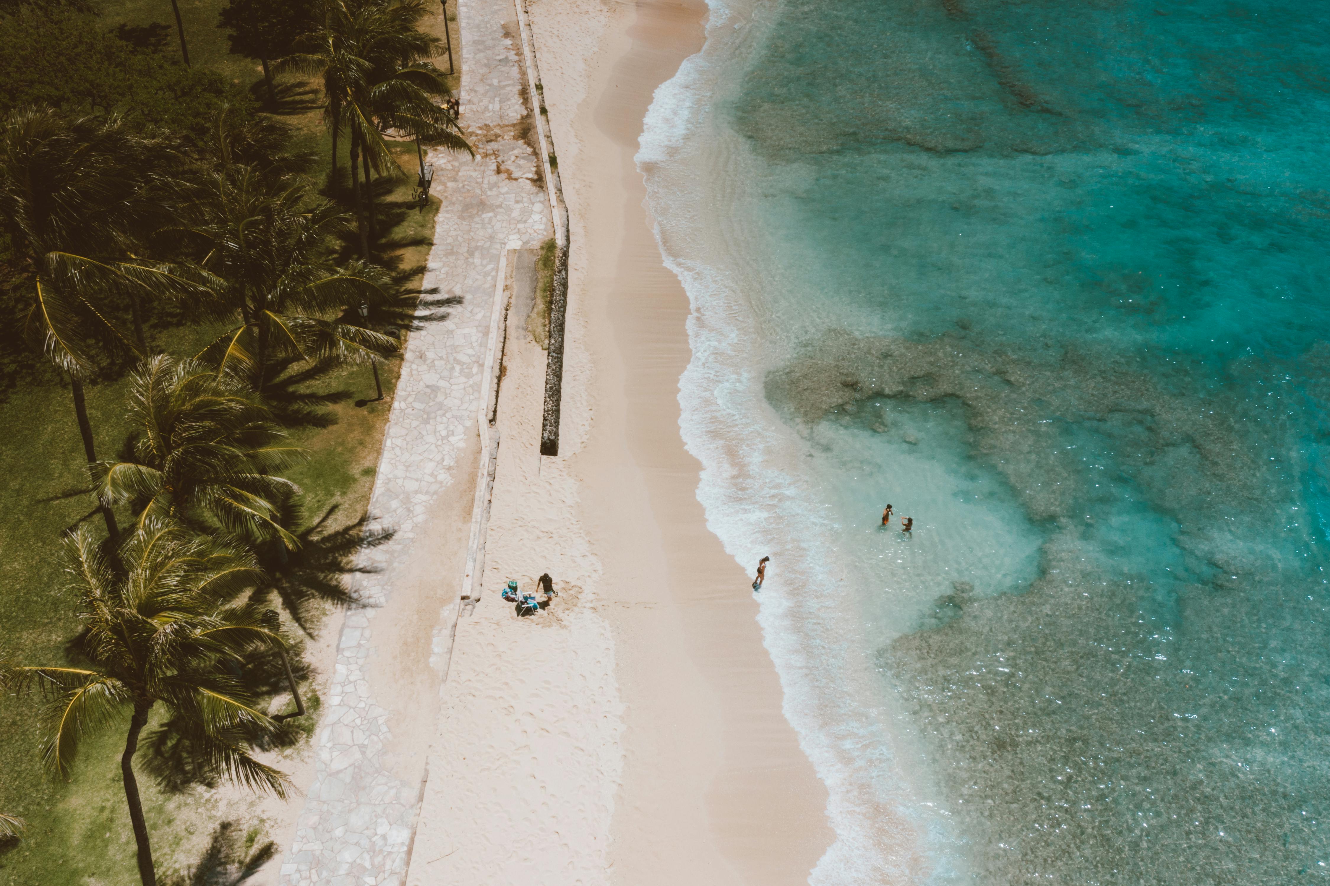
Beach erosion is a statewide issue in Hawaii, where the University of Hawaii Sea Grant College Program and state researchers have tracked chronic shoreline retreat on multiple islands. On Oahu, Maui, Kauai, and Hawaii Island, some developed and natural shorelines have narrowed for decades under wave action, rising seas, and coastal construction.
The Hawaii Department of Land and Natural Resources has said some beaches can temporarily recover with seasonal sand movement, but long-term erosion remains a documented trend in many locations. Researchers have warned that beach loss affects habitat, cultural sites, and public access as well as tourism. For residents and visitors alike, the practical change is simple: some sandy stretches shown in older photos are already smaller in 2025.
The Everglades and South Florida’s low-lying coast
The Everglades remains one of the country’s biggest restoration efforts, but it is also one of the clearest examples of a landscape under pressure. Everglades National Park, the U.S. Army Corps of Engineers, and the South Florida Water Management District have all tied the region’s future to sea level rise, saltwater intrusion, and altered water flow.
The restoration program is massive, with projects authorized over more than two decades under the Comprehensive Everglades Restoration Plan first approved by Congress in 2000. Even with that work, federal and state agencies say mangroves, freshwater marshes, and coastal habitat are shifting as oceans rise. In practical terms, travelers in the next 10 years may still see the Everglades, but not necessarily the same freshwater-dominated system earlier generations knew.