14 Honest Winter Drives in Vermont’s Northeast Kingdom—Trade-Offs Included
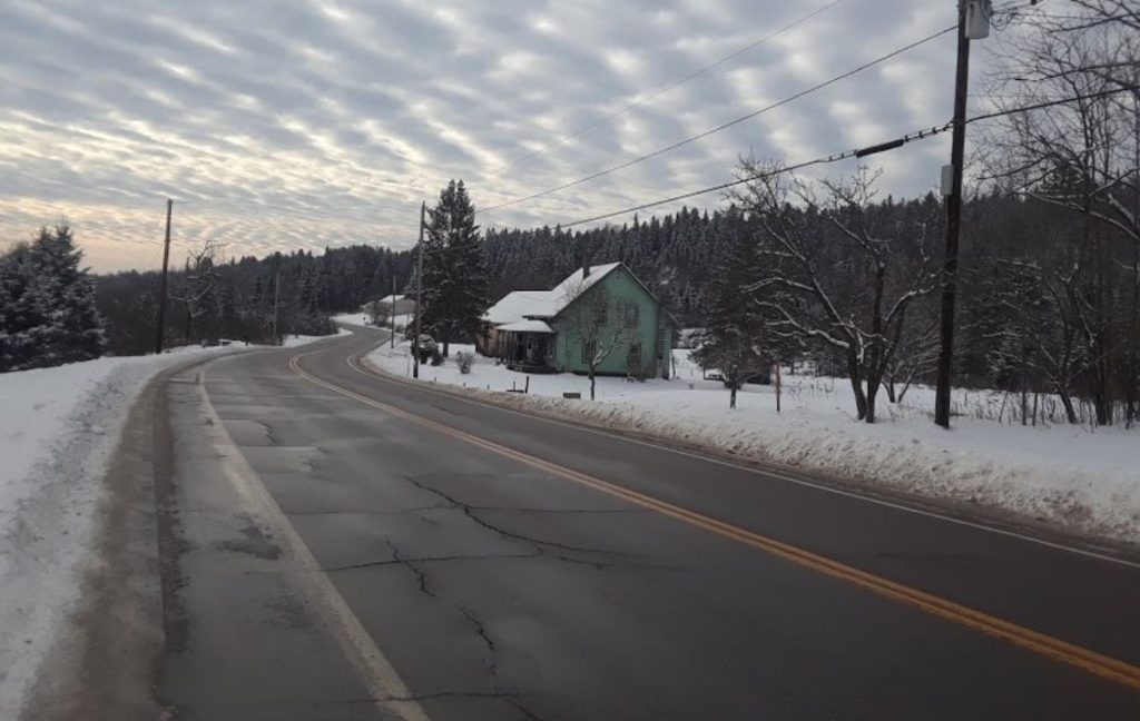
Winter in Vermont’s Northeast Kingdom makes every mile feel earned. Snowbanks narrow shoulders, the sun slips early, and a clear forecast can turn hazy between one valley and the next. Yet the payoff is specific: lake ice that looks like glass, villages that glow at dusk, and roads that trace mountains with no rush to impress. These drives are honest about the trade-offs, from patchy cell service to shaded bends that hold slick film longer than expected. They reward steady pacing, full fuel, and a simple plan for where warmth and food exist before night settles in. The Kingdom feels larger in winter, and that is part of its pull.
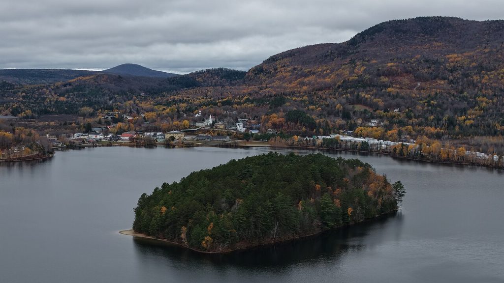
Lake Willoughby Shoreline on VT-5A
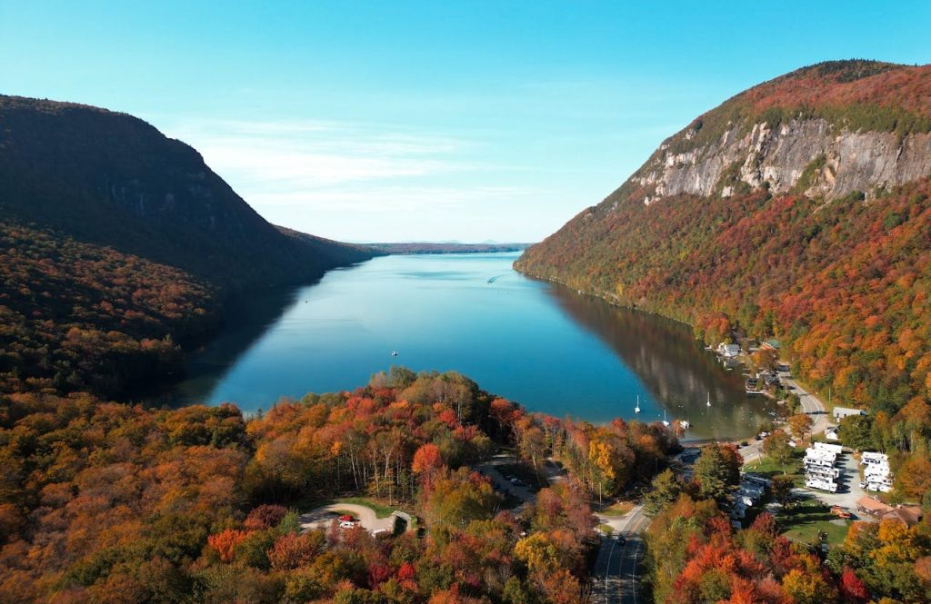
VT-5A hugs Lake Willoughby’s east shore, where cliffs rise close and winter turns the water a hard, cold blue. On bright days, the lake reads like polished metal, and the gap between rock and ice feels almost theatrical. The trade-off is how tight it runs: Vermont tourism describes five shoulder-less miles along this stretch, so snowbanks and plow passes can squeeze the lane and limit pull-offs. Shaded rock faces keep patches slick longer, and the prettiest light often arrives when traffic and parking are at their busiest. A slower speed feels less like caution and more like the correct way to see it.
Willoughby Gap Through Willoughby State Forest
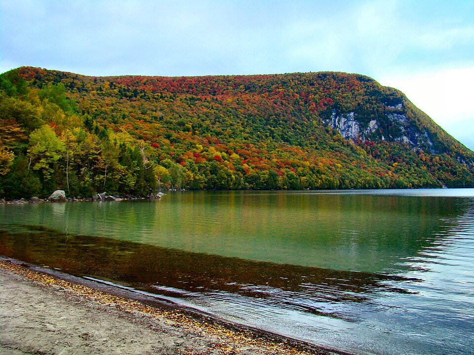
Willoughby Gap funnels the road between Mount Pisgah and Mount Hor, and the walls create a winter corridor that holds cold. Even when nearby roads look clear, this slot stays shaded, with packed snow and refreeze appearing in uneven bands. The scenery is the reward: dark evergreens, rock faces, and sudden glimpses of the lake at the edges of the trees. The trade-off is surprise and limited space. Pull-offs can be buried after storms, shoulders are thin, and one slick bend can reset the pace for the next mile once the sun drops behind the ridge. Smooth inputs keep it steady. It helps to treat the gap as its own weather zone.
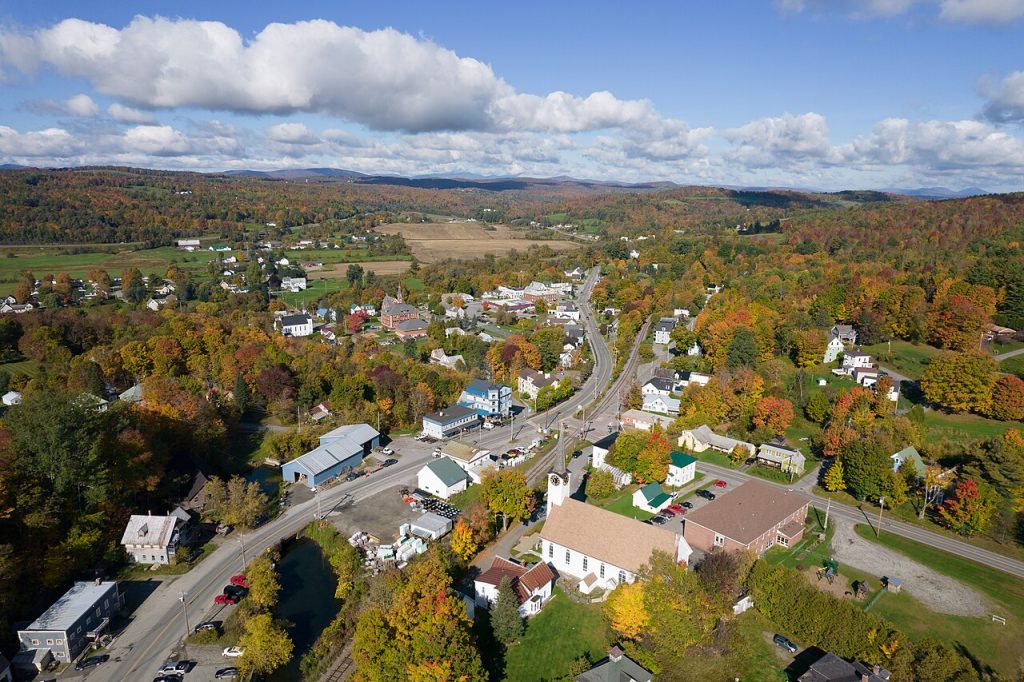
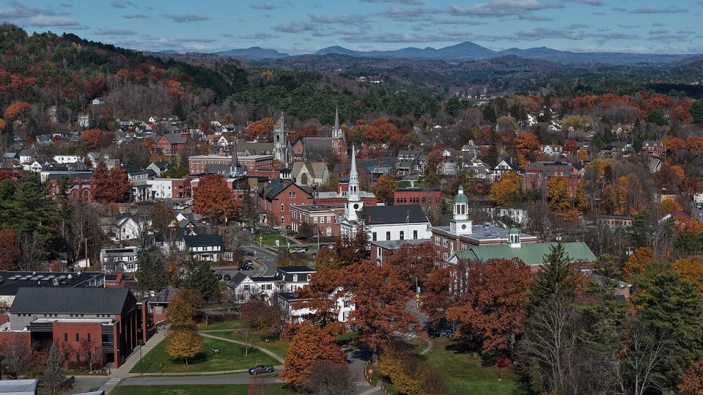
Northeast Kingdom Byway: Saint Johnsbury to Newport
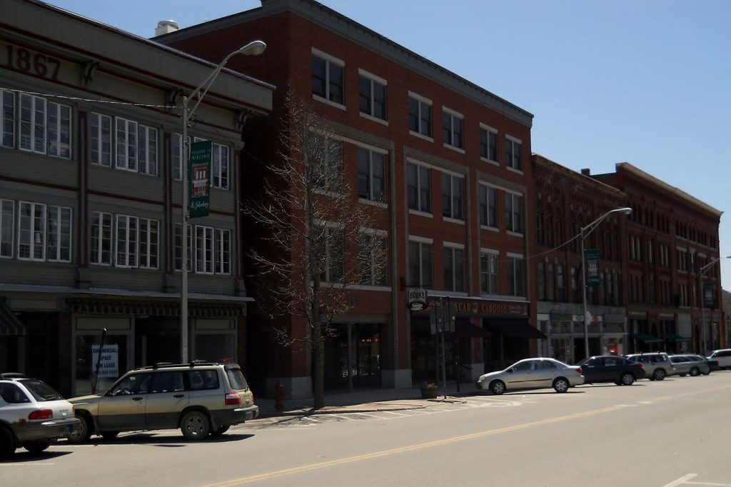
The Northeast Kingdom Byway runs 51 miles from Saint Johnsbury to Newport, linking Lyndon, East and West Burke, Westmore, Charleston, and Derby along the way. In winter, it feels like a stitched-together portrait: village greens, farm valleys, and long treelines that sharpen against snow. Stops arrive just often enough to reset the mood, then the road releases back into quiet. The trade-off is timing and services. After midafternoon, hours shrink fast, and stretches between towns can feel very empty, so fuel and a clear route plan matter more than usual. Cell coverage can fade in pockets, which makes simple decisions feel bigger.
Darling Hill Road to the Chapel Viewpoint
Darling Hill Road climbs above the Burke area to the Chapel of the Holy Family, a small landmark tied to the Kingdom Trails network and sometimes listed with a Lyndonville mailing address. In winter, the hilltop view opens wide, with fields and ridgelines laid out in clean layers and late-day light that feels almost still. The trade-off is the grade and the exposure. Plows can leave ridges at the edge of the pull-in, wind can polish the surface, and the last turns hold slick film longer than the roads below, so the calm view comes after a careful climb. Short daylight also means the return can start in full dusk.
East Burke to Island Pond on VT-114
VT-114 from East Burke to Island Pond leans into the Kingdom’s wooded backbone, where spruce stands close and clearings appear like brief windows. After a snowfall, branches carry weight and the road feels muffled, as if sound has been turned down. Small rivers slide under ice, and the landscape stays consistent enough to settle the mind. The trade-off is distance between reliable stops. Winter business hours can be short, shoulders narrow under plow berms, and a missed turn or slow plow can add real time, so a steady, patient pace keeps the drive pleasant. When weather moves in, there may be few easy places to pull over.
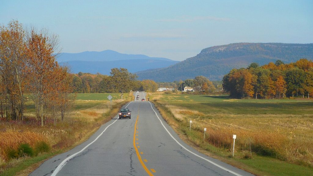
Island Pond to Canaan and Back via VT-114 and VT-102
From Island Pond north on VT-114 toward Canaan, then south on VT-102, the road swings between tight forest and open border-country fields. On blue-sky days, the contrast is sharp: dark spruce walls, bright snow flats, and long sightlines that make the region feel vast. The trade-off is exposure and inconsistency. Wind sweeps the open parts, sanded patches come and go, and the surface can change quickly where shade returns. With fewer services along the way, a calm plan matters: full fuel, warm layers, and no pressure to keep a schedule when conditions disagree. The loop is most enjoyable when it stays unhurried.
VT-105’s Northern Quiet: Island Pond Toward Bloomfield
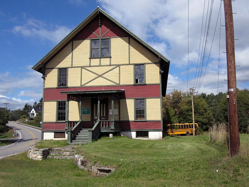
VT-105 east from Island Pond toward Bloomfield is a long, quiet run where the landscape feels stripped to essentials: evergreens, low hills, and pale winter light. State references note this stretch is known for frequent moose sightings, which fits the sense of wild space pressed close to the road. The trade-off is alertness over comfort. Shoulders can vanish under drifted snow, dusk arrives early, and the same empty straightaway that feels soothing at noon can feel demanding after 4 p.m. Clean windows, conservative speed, and steady focus keep the miles calm. It is a drive that rewards attention, not hurry.
Connecticut River Flats on VT-102 Near Lemington
VT-102 near Lemington follows the Connecticut River through broad flats where winter sun turns the valley silver and the horizon feels unusually open. A natural pause is the Columbia Covered Bridge, built in 1911–12, carrying Columbia Bridge Road between U.S. Route 3 in New Hampshire and VT-102 in Vermont. The trade-off is the river’s influence on conditions. Cold air settles, light can flatten contrast, and bridge approaches often feel slick even when nearby pavement looks fine. The route stays peaceful, but it asks for small, consistent adjustments rather than big, confident moves. The calm is real, but so is the chill.
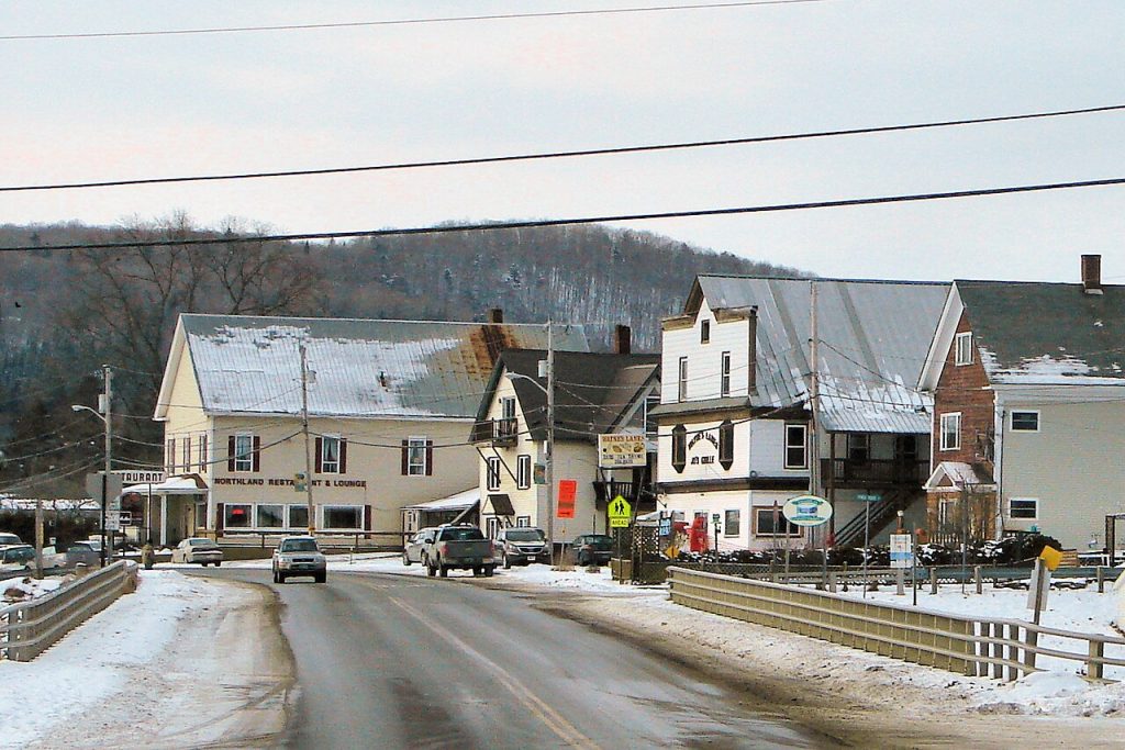
Newport Lakefront Approach and Derby Street Grid
Arriving in Newport after back roads can feel like stepping into a warmer pocket of light, with Lake Memphremagog nearby and shop windows reflecting off winter surfaces. The drive shifts from empty miles to short blocks, intersections, and plow ridges at corners, so the rhythm changes quickly. The trade-off is texture and wind. Lake-adjacent pavement tends to run colder, bridges can glaze first, and gusts off open water can make visibility feel grainy in blowing snow. Slower turns and extra following distance keep the town approach smooth, especially as evening traffic replaces daytime quiet. Too.
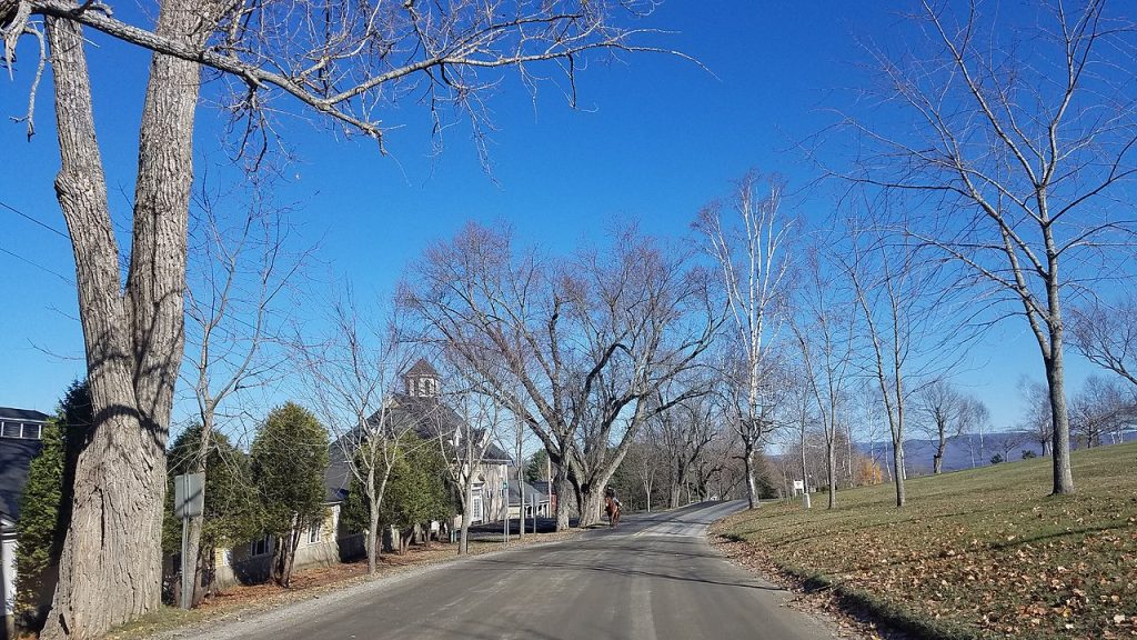
Brownington Back Roads to the Old Stone House Area
Brownington’s back roads feel quietly grounded in winter, with farm lanes, low ridges, and small historic buildings that look sharper against snow. The anchor is the Old Stone House Museum & Historic Village, centered on Athenian Hall, built in 1836 by Alexander Twilight, widely described as the nation’s first African American college graduate. The museum opened in 1925 and is noted as a stop on Vermont’s African-American Heritage Trail, which gives the drive a deeper story than scenery alone. The trade-off is navigation and time: local connectors are narrow, turnarounds are limited, and winter hours can close off easy backup plans.
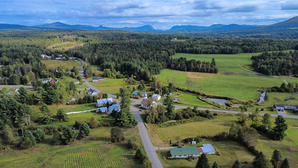
Hardwick to Craftsbury Common and Greensboro
Hardwick to Craftsbury Common and Greensboro offers a softer kind of winter driving, built on small rises, open farmland, and villages that feel lived-in year-round. Snow brightens the fields and makes the lines of barns and fences look intentional, while wooded dips add brief moments of shadow. The trade-off is inconsistency by elevation and shade. Pavement can feel dry near town, then turn slick in a low hollow, and the change arrives without warning. The best version of this drive is steady and unforced, with no need to make up time, because the road’s mood can change faster than the scenery.
Craftsbury to Barton: Farm Valleys and Windblown Drifts
From Craftsbury toward Barton, the Kingdom opens into farm valleys where winter light sits wide on the land and the road feels like a clean line drawn through snow. Fence rows, hay fields, and distant ridges create a simple geometry that looks especially crisp after a clear night. The trade-off is wind and drifting. Open sections collect blown snow, intersections can polish over, and visibility can drop quickly in a brief squall, even when the forecast looked polite. It is still an easygoing drive, but it runs best on flexible timing and a willingness to pause when the sky starts moving. Patience keeps it enjoyable.
Saint Johnsbury to Peacham and Danville Ridge Roads
The Saint Johnsbury to Peacham and Danville run trades river-valley shelter for ridgelines where the horizon suddenly stretches. In winter, Peacham’s green and church scene can look almost perfectly composed, while surrounding back roads roll through hardwood stands and open pasture. The trade-off is terrain. Short climbs, shaded corners, and intermittent plow berms ask for measured steering and a pace that stays consistent instead of quick. This drive shines when the goal is the feeling of moving through a real working landscape, not collecting stops, because the best moments appear between towns and vanish just as fast.
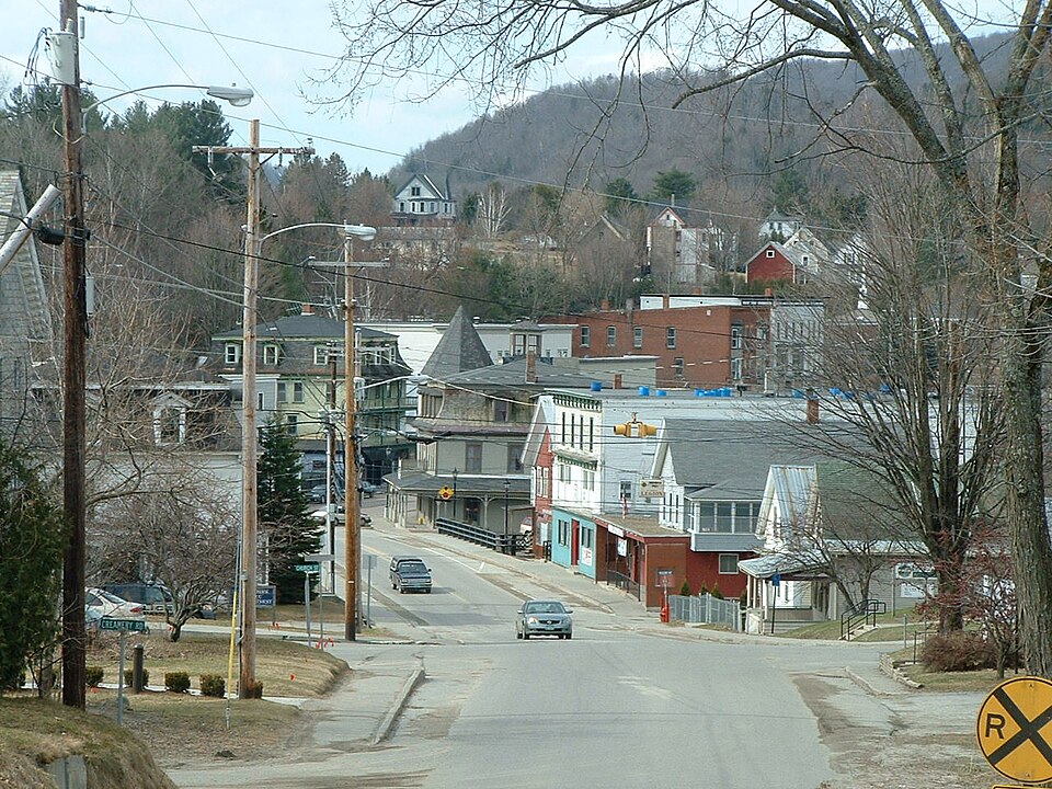
Lyndonville’s Covered Bridge Roads
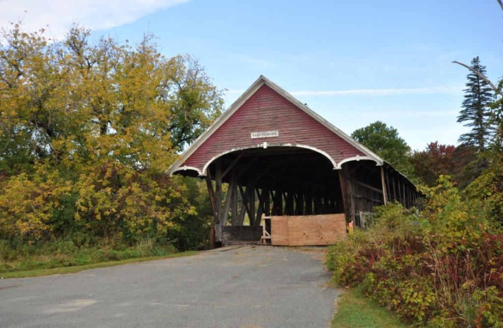
Lyndon’s covered bridge roads add a grounded winter rhythm, where short back routes cross rivers and rejoin village streets. The town calls itself the Covered Bridge Capital of the Northeast Kingdom and has five historic covered bridges, including Miller’s Run, built in 1878. The trade-off is strict routing. Low clearances and weight limits are real, and officials have noted that oversize vehicles following car navigation have repeatedly damaged bridges nearby. In winter, slick decks and narrow approaches add another layer, so the smart move is posted signs, slow entries, and skipping the urge to shortcut.