10 Ancient Roads Still in Use Today That Have More History Than Most Museums Combined
Some roads are more than a way to get from one place to another. They are working pieces of history that people still use every day.
Across Europe, Asia, Africa, and the Americas, ancient routes built for armies, pilgrims, traders, and emperors remain part of modern life. In many cases, cars, buses, cyclists, and pedestrians now follow paths first cleared centuries or even millennia ago.
Appian Way, Italy
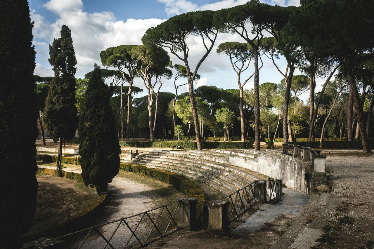
Rome’s Appian Way, or Via Appia, is one of the best known ancient roads still in use. Construction began in 312 BCE under the Roman censor Appius Claudius Caecus, according to Italian cultural authorities, and the route eventually stretched from Rome to Brindisi for roughly 540 kilometers, or about 335 miles.
Parts of the road remain open today to pedestrians, cyclists, local traffic, and guided tours, especially in and around the Parco Archeologico dell’Appia Antica. The surviving basalt paving stones, tombs, aqueducts, and villas make it feel less like a road and more like a moving museum.
Historians often describe the Appian Way as a model of Roman engineering because of its drainage, layering, and relatively straight alignment. Its continued use matters because it shows how durable infrastructure can outlast empires and still serve a modern city.
Camino de Santiago routes, Spain
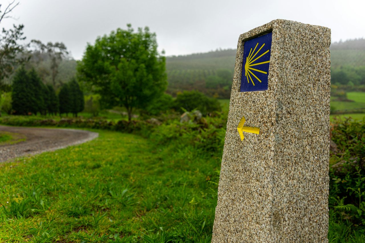
The Camino de Santiago is not a single road but a network of pilgrimage routes that has brought travelers to Santiago de Compostela for more than 1,000 years. Medieval records show the pilgrimage was firmly established by the 9th and 10th centuries, and today the routes are used by walkers and cyclists from around the world.
Spain’s pilgrim office has reported hundreds of thousands of arrivals in recent years, with totals often topping 400,000 annually. That level of traffic makes the Camino not just a heritage site but a living route with lodging, cafés, churches, and road markers still guiding movement across northern Spain.
What keeps the Camino relevant is that it blends religion, tourism, and everyday local life. In many towns, ancient pathways double as village streets or rural lanes, proving that old routes can remain practical while carrying a deep historical identity.
Fosse Way, England

The Fosse Way began as a Roman road in Britain soon after the Roman invasion of 43 CE. Running diagonally across England from Exeter toward Lincoln, it formed part of the backbone of Roman control and trade, and long stretches influenced later local roads and property lines.
Today, several modern roads and lanes follow the old alignment, especially through parts of Lincolnshire, Leicestershire, and Somerset. Drivers may not always realize it, but in some places they are traveling along a corridor first engineered nearly 2,000 years ago.
Archaeologists in Britain have long pointed to Roman roads as examples of how infrastructure shapes settlement patterns for centuries. The Fosse Way matters because it remains visible in the landscape, not just in ruins but in active transport routes that still structure everyday movement.
Via Egnatia, Balkans
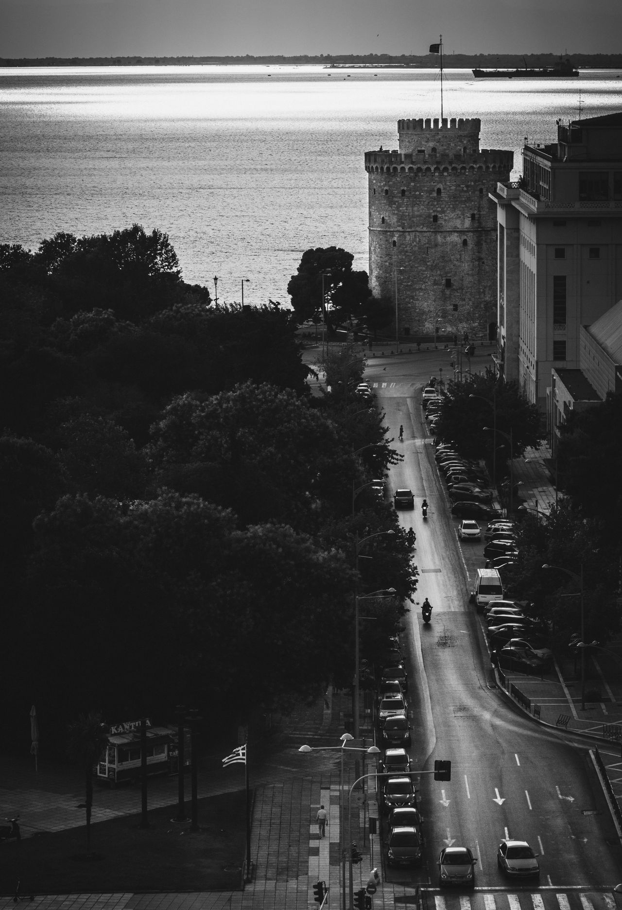
The Via Egnatia was built by the Romans in the 2nd century BCE to connect the Adriatic with Byzantium, later Constantinople. It crossed parts of what are now Albania, North Macedonia, Greece, and Turkey, creating a major east-west artery for soldiers, traders, and officials.
Although the full ancient road does not survive as a single drivable route, many modern roads, streets, and regional corridors follow its path. In cities such as Thessaloniki, the name Egnatia remains in active use, linking present-day traffic to one of antiquity’s key transport networks.
Its importance was geographic as much as political. The route tied Europe to Asia Minor and played a role in commerce, imperial administration, and early Christian travel, making it a road whose legacy still shapes movement across southeastern Europe.
King’s Highway, Jordan
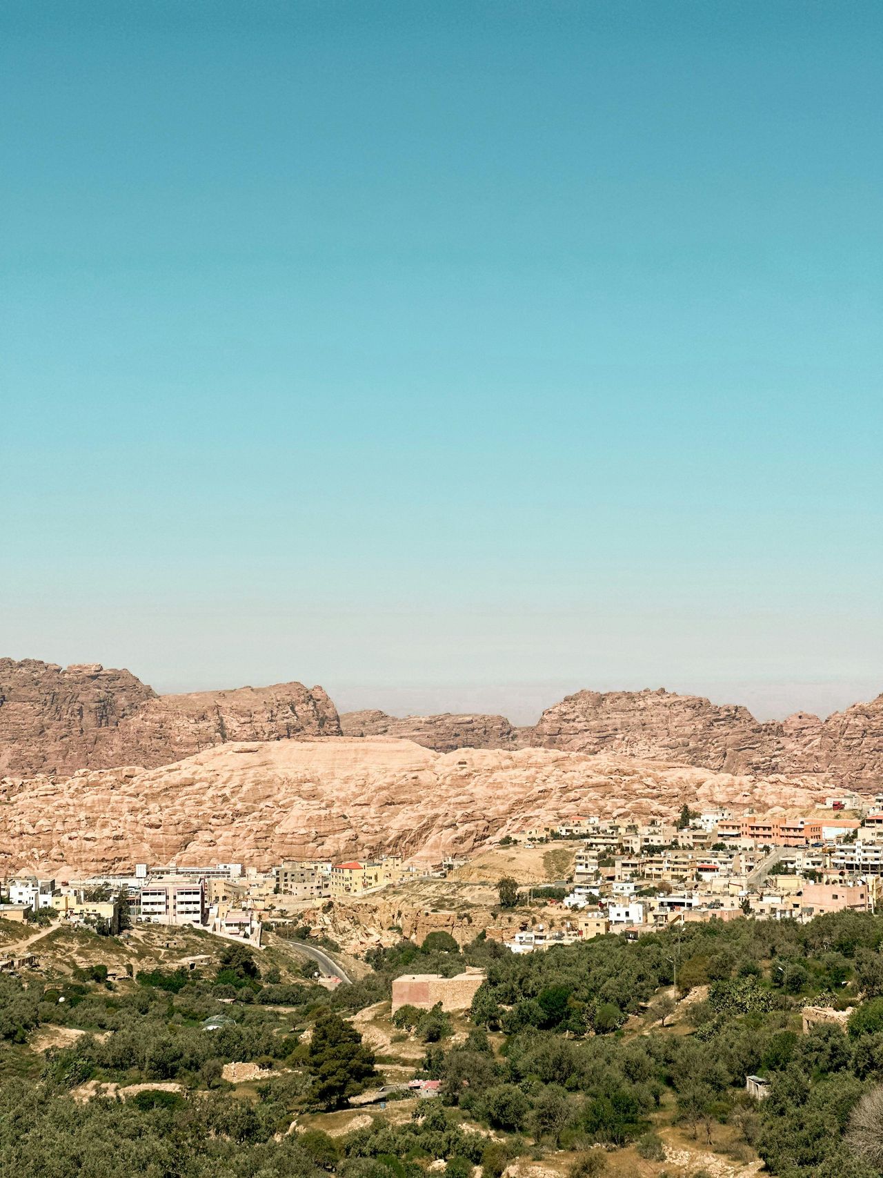
Jordan’s King’s Highway traces a route with roots stretching back at least 3,000 years, with some historians linking it to trade corridors mentioned in ancient Near Eastern sources and the Hebrew Bible. It later served Nabataean, Roman, Byzantine, and Islamic travelers moving through the region.
Today, the modern King’s Highway is a scenic north-south road connecting Amman with Petra, Kerak, Madaba, and other historic sites. Buses, rental cars, freight traffic, and local drivers use it regularly, even as tourists stop to take in canyons, crusader castles, and desert landscapes.
Its appeal is not just age but continuity. Few roads let travelers pass so many layers of history in a single drive, from Iron Age kingdoms to Roman milestones and medieval fortresses, while still functioning as an everyday route through modern Jordan.
Shahar-Yazd Road segments, Iran
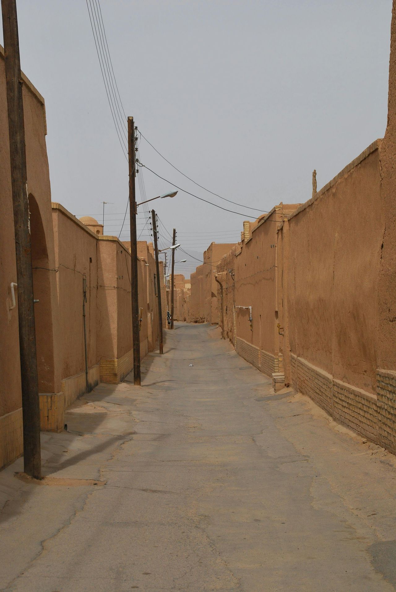
Iran holds several ancient road systems that remain in use in some form, especially along long-standing desert trade corridors. Segments associated with routes linking central plateau cities such as Yazd have been used for centuries by caravans, merchants, and later motor traffic moving across arid terrain.
The broader importance of these roads comes from Persia’s deep transportation history, including royal and commercial networks that connected major cities long before modern highways. In many cases, contemporary roads overlap older alignments because geography still favors the same passes, wells, and settlement chains.
For travelers today, these routes reveal how movement in harsh environments depended on careful planning and engineering. Even where asphalt has replaced packed earth, the path itself often reflects decisions first made in an ancient landscape shaped by trade and survival.
Silk Road streets in Central Asia
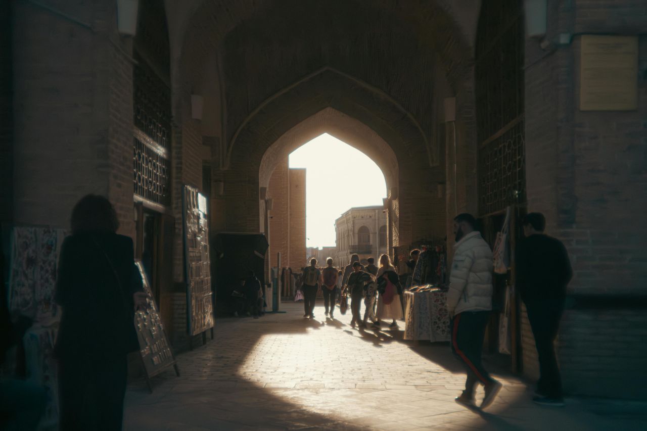
The Silk Road was a vast web of routes rather than one road, but in cities such as Samarkand, Bukhara, and Kashgar, some streets and corridors still sit on ancient trading alignments. These routes connected China, Central Asia, the Middle East, and Europe through commerce in silk, spices, metalwork, horses, and ideas.
Modern markets, roads, and urban lanes in these cities often occupy spaces used for trade for many centuries. UNESCO and regional historians have highlighted how caravan movement helped shape city plans, gates, and commercial districts that still guide traffic and tourism today.
That continuity matters because it shows history as a lived experience, not just a preserved artifact. A visitor walking through an old bazaar district may be standing on a route where traders once moved goods that linked entire continents long before modern globalization.
Qhapaq Ñan, Andes
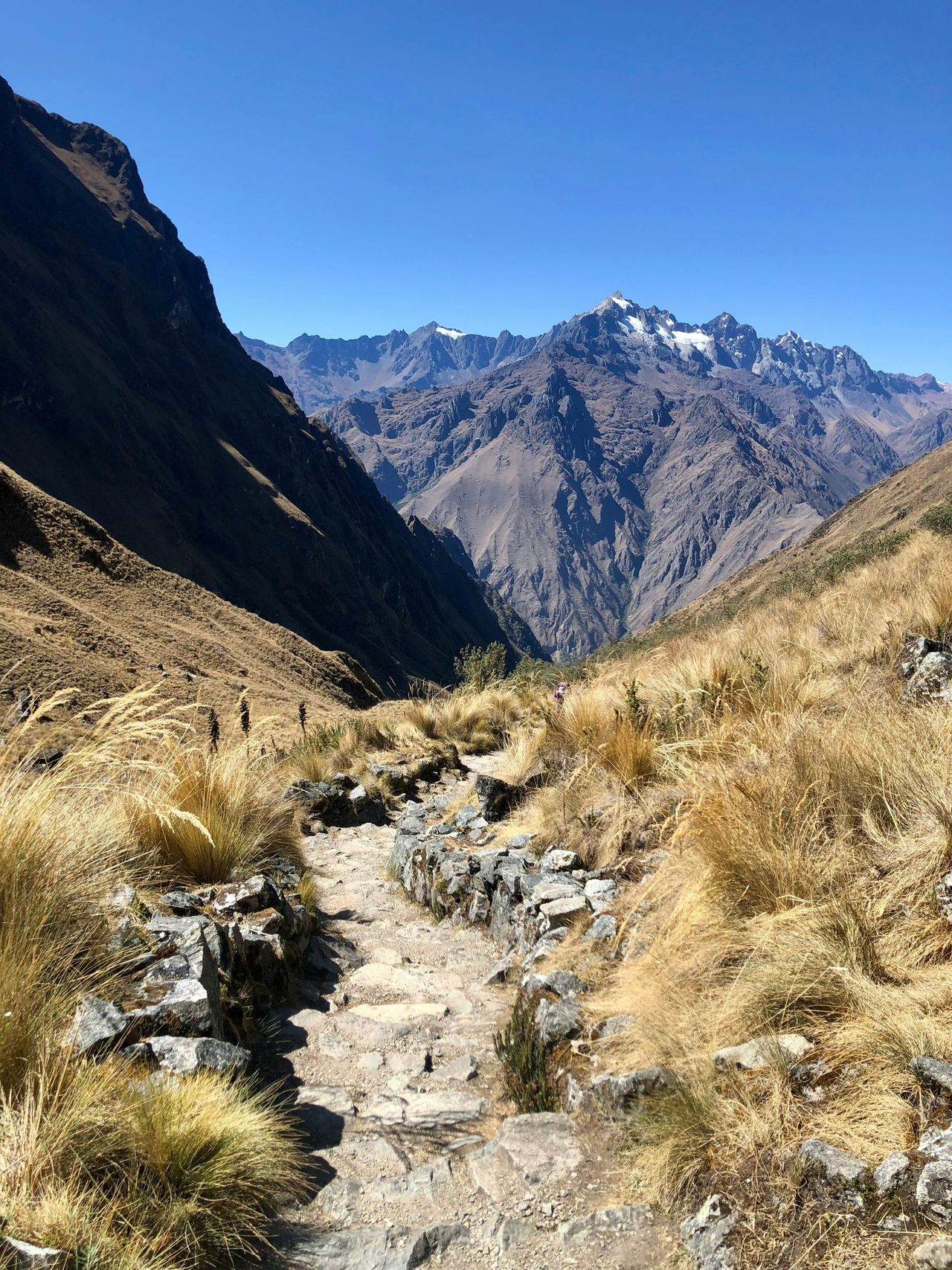
Qhapaq Ñan, the Inca road system, once stretched for about 30,000 kilometers, or more than 18,000 miles, across parts of modern Peru, Bolivia, Ecuador, Colombia, Argentina, and Chile. UNESCO says it linked mountains, deserts, forests, and imperial centers across one of the world’s most difficult landscapes.
Not every stretch is still used in the same way, but many sections continue to serve local communities on foot, by pack animal, or as rural access routes. In parts of the Andes, villagers still rely on paths first developed or formalized under Inca rule centuries before Spanish colonization.
Its survival is striking because the road system crossed steep slopes, high passes, and remote settlements without wheels or draft animals as used in Eurasia. The fact that parts remain practical today says a lot about indigenous engineering and the lasting logic of the original network.
Incense Route paths, Oman
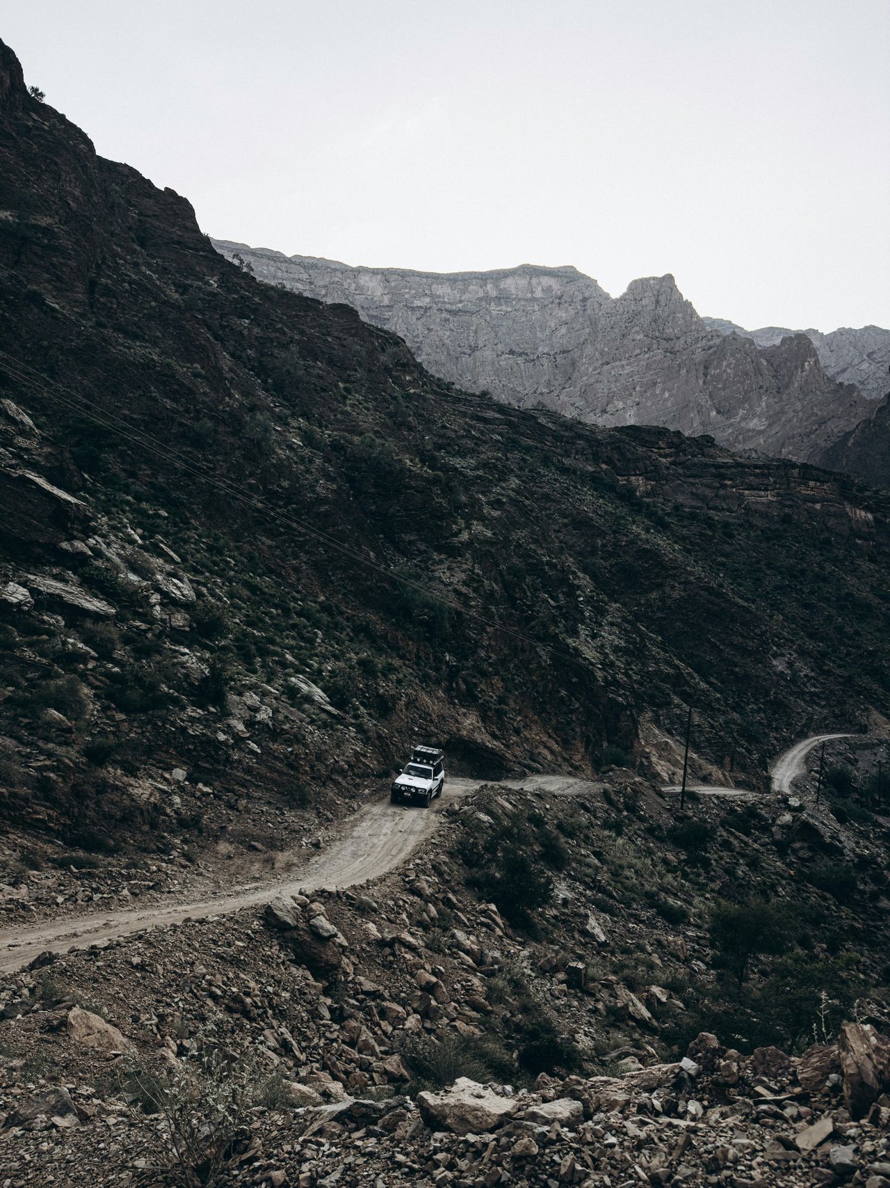
Oman’s ancient trade corridors, including sections tied to the frankincense trade, remain visible and in some areas still used as local roads or tracks. For centuries, caravans moved incense from southern Arabia northward toward the Mediterranean and across the Arabian Peninsula, making these paths economically vital.
The old routes connected ports, desert stopping points, and inland settlements. Modern roads now cover much of the same territory because the geography of water access, mountain gaps, and coastal approach points has changed little over time.
For travelers, Oman offers a clear example of how ancient commerce shaped modern mobility. A road that now carries cars to towns or archaeological parks may follow the same direction once taken by camel caravans carrying one of the ancient world’s most prized goods.
Great North Road alignments, Peru
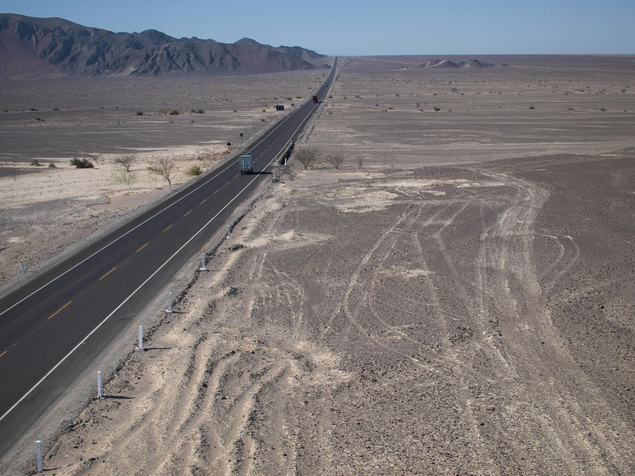
Parts of Peru’s coastal transport network follow routes that predate the Spanish colonial era and, in places, even the Inca. Archaeologists have documented long-distance roads used by earlier civilizations along the coast, where movement between valleys was essential for trade, politics, and agriculture.
Later empires and then modern states often reused those same alignments because they connected the same population centers. That means some present-day roads in Peru rest on corridors with a very long human history, even if the surface and width have changed dramatically.
The broader lesson is simple and surprisingly modern. The best routes tend to stay the best routes. Whether built in stone by Romans, cut into mountain slopes by the Inca, or traced through desert by caravan merchants, ancient roads still in use show that smart infrastructure can survive far longer than the societies that first built it.