12 Historic Downtowns That Were Destroyed by Modern Urban Planning

Historic downtowns were built for walking: tight blocks, mixed uses, and storefronts that opened straight onto the street. Mid-century planning often treated that texture as inefficient, swapping it for highways, superblocks, and parking meant to speed cars and modernize commerce. The price rarely appears in old traffic studies. It shows up in missing main streets, severed neighborhood ties, and city centers that feel less welcoming even when they look newer. Some places are repairing the damage, but the original street fabric is difficult to rebuild once it has been stripped away.
Detroit, Michigan
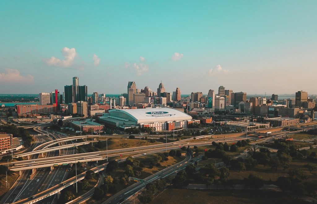
Detroit’s Black Bottom and Paradise Valley once sat close to the city’s core, packed with homes, clubs, shops, and corner services that kept streets busy beyond office hours and anchored Black cultural life. Urban renewal and the I-375 project cleared that fine-grained grid, replacing it with ramps, buffers, and leftover parcels that prioritized car movement over neighborhood continuity. The loss was social as much as physical: fewer locally owned storefronts, fewer nearby apartments, and fewer natural paths linking downtown to surrounding blocks, a gap later redesigns can soften but not fully restore.
Syracuse, New York
Syracuse’s I-81 viaduct delivered speed, but it also placed an elevated roadway through a long-established area near downtown, turning a neighborhood into a space people moved over rather than moved within. Noise and shadow became constant, while housing and small businesses that supported nearby streets thinned out or vanished. Current plans to replace the viaduct with a surface community grid aim to reconnect blocks and reduce the barrier effect. Even so, the original closeness, where errands, schools, and jobs felt a short walk apart, is hard to restore once the street fabric has been interrupted for decades.
Rochester, New York

Rochester built the Inner Loop as a sunken expressway ring meant to protect downtown from congestion, but it ended up isolating it. To create the trench, hundreds of parcels were cleared, then replaced with ramps, wide roads, and blank edges that made simple crossings feel inconvenient and unsafe. Businesses lost passing foot traffic, and nearby neighborhoods felt farther away than the map suggested. Recent removals and infill projects show the upside of stitching streets back together, yet they also underline the scale of what was removed when a compact downtown was treated like a traffic diagram.
Hartford, Connecticut
Hartford’s interstates were routed like borders. I-84 cut across the city, and I-91 pressed along the river, shaping downtown into a place hemmed in by fast lanes, long ramps, and awkward crossings. The waterfront, which could have been a daily asset, became harder to reach on foot, and nearby neighborhoods felt more distant even when they were close. Over time, that separation influenced investment, retail patterns, and who stayed downtown after 5 p.m. Proposals to rethink these corridors are, at heart, attempts to give Hartford back a simple advantage it once had: continuity from block to block.
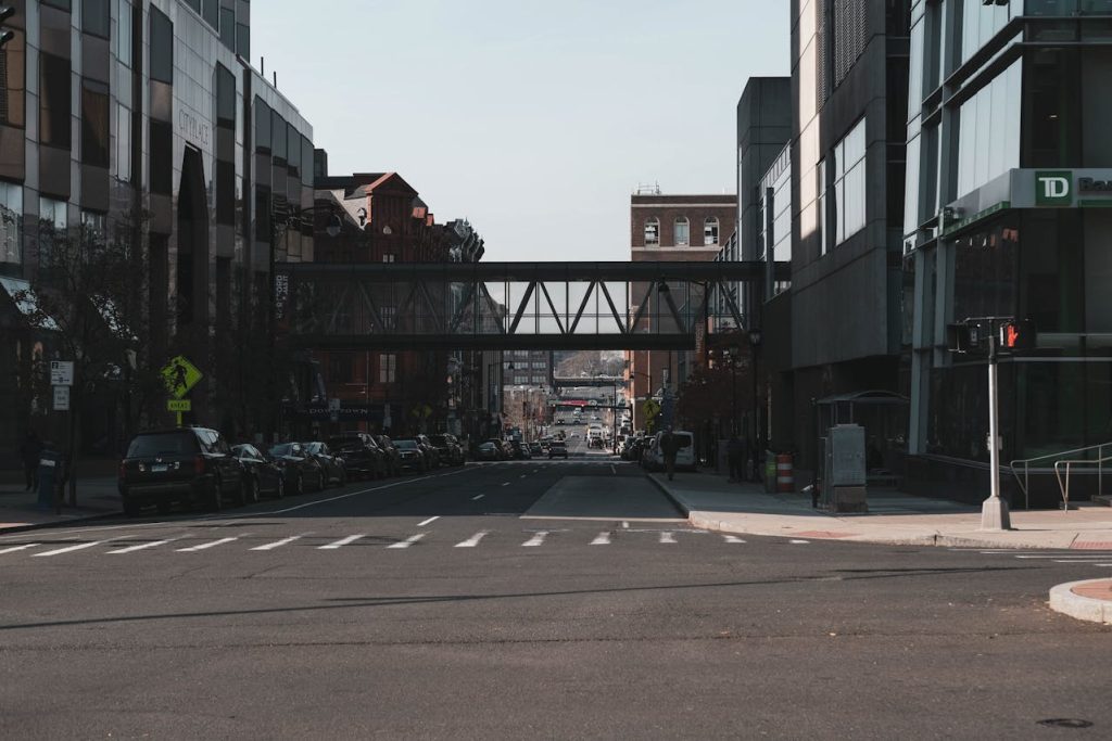
New Haven, Connecticut
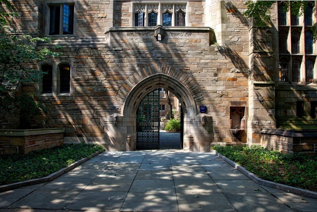
New Haven’s Oak Street neighborhood was cleared during the urban renewal era to make way for Route 34 and the Oak Street Connector, a car-first approach meant to pull commuters into the center. The project displaced residents and businesses, then left behind a partial expressway and large gaps where streets once linked naturally to downtown. Instead of creating a stronger core, the corridor encouraged fast in-and-out movement and weakened street-level activity. Today’s Downtown Crossing work focuses on restoring blocks and reconnecting streets, a quiet admission that the old grid created more value than planners expected when they erased it.
New Orleans, Louisiana
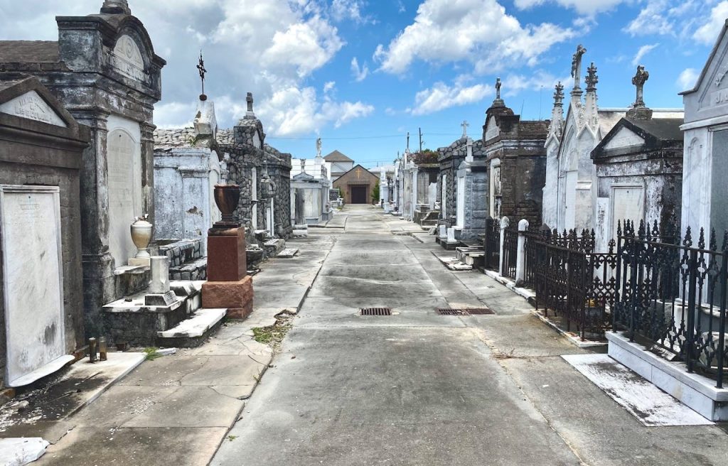
New Orleans elevated I-10 over North Claiborne Avenue, a wide boulevard that had served as a commercial spine and gathering place near the historic core. Once the roadway arrived, daylight dimmed, noise rose, and the space below became harder to use, changing how businesses and neighbors interacted on what had been a social street. Downtown remained reachable by car, but the avenue’s local economy and comfort were altered for generations. Arguments about removing the structure are not nostalgia, they are about whether a city should trade a lived-in corridor for a shortcut that mainly benefits through traffic.
Miami, Florida
Miami’s Overtown sat next to the central business district with a dense mix of homes, churches, and nightlife tied to the city’s Black history and rail-era growth. Highway construction and renewal projects pushed major roadways through the area, breaking up blocks, reducing nearby housing, and shifting foot traffic away from local businesses that depended on everyday routines. Redevelopment continues, but once parcels are fragmented by ramps and wide corridors, small-scale commerce struggles to return, and the distance between downtown jobs and stable neighborhoods grows in ways a map does not show.
Nashville, Tennessee
Nashville’s Jefferson Street corridor functioned as a cultural and business hub close to downtown, with clubs, shops, and institutions that carried music, student life, and daily errands on the same blocks. Interstate planning routed I-40 through nearby areas, disrupting access, changing traffic patterns, and weakening businesses that relied on foot traffic and quick local trips rather than destination parking. Repair work can improve crossings and investment, but the corridor’s earlier momentum shows how easily a downtown-adjacent main street can lose its role when planners treat connection as optional and speed as the main goal.
Los Angeles, California

Downtown Los Angeles reshaped Bunker Hill through urban renewal that cleared older housing and irregular blocks for offices, cultural sites, and new infrastructure, with the promise of a cleaner, modern center. The skyline gained height, but the street-level texture of stairs, porches, and corner stores largely disappeared, replaced by superblocks that asked people to enter buildings rather than wander streets and stop casually. Bunker Hill became proof that modernization can deliver striking architecture while quietly removing the fine-grain patterns that make a historic center feel navigable, sociable, and alive beyond business hours.
San Francisco, California
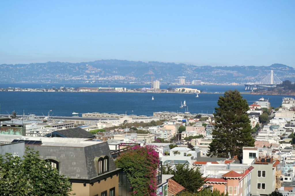
San Francisco’s Embarcadero Freeway was built as an elevated connector, but it severed downtown from its waterfront with ramps, shadowed spaces, and blocked views. Instead of arriving at the bay as a civic edge, people arrived at concrete columns and fast traffic, and the shoreline felt like a back side of the city. After the 1989 earthquake damaged the structure, its removal allowed surface streets, transit, and public space to restore the waterfront as part of daily downtown life. The episode shows how one piece of infrastructure can hide a city’s best room, and how quickly street life can return when the barrier is gone.
Stockholm, Sweden

Stockholm’s Klara district underwent sweeping mid-century redevelopment that replaced older streets with major roads and large office blocks near the city’s center, reshaping the everyday experience of downtown. Demolitions removed layers of small shops, apartments, and intimate lanes, trading a walkable fabric for scale and efficiency that favored traffic flow and large institutions. The new core served modern needs, yet the memory of Klara persists because the old street pattern was social infrastructure, and once it is removed, a downtown can feel orderly while also feeling less warm and personal.
Glasgow, Scotland
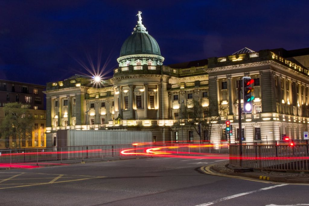
Glasgow brought the M8 into the city center, clearing large areas and reshaping how central districts connected to one another, especially around junctions that prioritized through traffic. Cars moved faster, but the motorway created hard edges, difficult crossings, and leftover land that did little for street life, weakening the natural links between nearby neighborhoods and the core. Later efforts to improve pedestrian routes highlight the same reality: once a historic center is divided by high-speed infrastructure, repair is slow, and simple everyday trips pick up friction that changes how people use downtown.